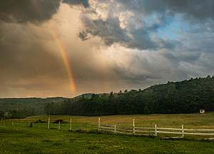
Boreas Ponds Classification Proposals
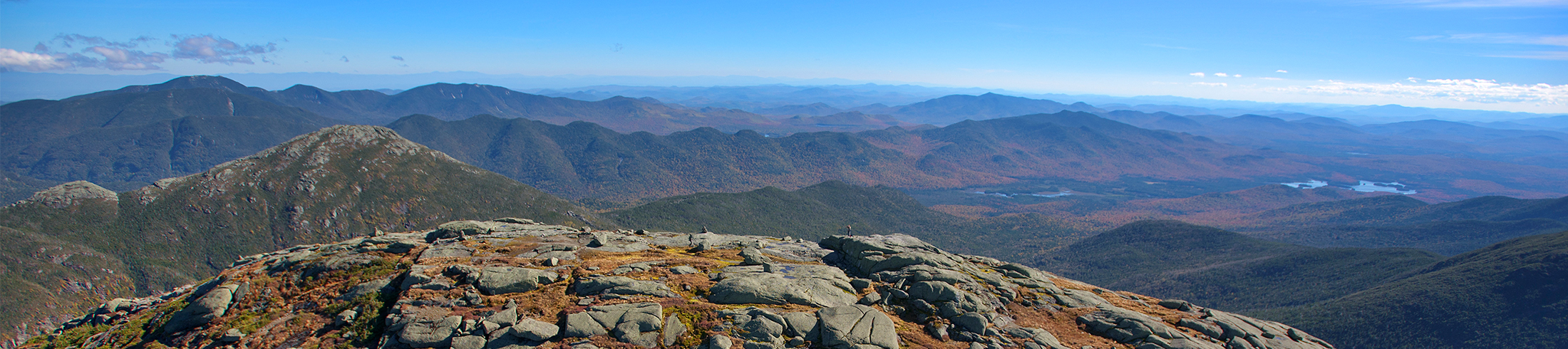
Adirondack Council Wilderness ProposalProtect as Wilderness the Boreas Ponds, the watershed around and above the ponds and a minimum one-mile buffer to the south. Allow motorized access to limited parking at LaBier Flow at least one mile from the ponds. Provide an accessible trail to the ponds for people with disabilities. Provide Wilderness protection for the Boreas River to the Blue Ridge Highway. What are the differences?The critical difference between the state’s alternatives and the Adirondack Council proposal is if the ponds and associated waters, wetlands and wildlife habitat will be protected from motorized recreation and invasive species. This will in large part be determined by where motorized access ends. Of greatest concern, the closer to the ponds vehicles are allowed, the greater the risk that invasive species will be introduced to and forever destroy the fragile waters, wetlands and wild character of the Boreas Ponds. Click HERE to learn more about the different classifications of state-owned land in the Adirondack Park. |
 Click to enlarge map
Motorized Boreas Ponds (State Alt 1)
|
Motorized to Shore (State Alt 2)
|
|
False Wilderness (State Alt 3)The same as Alternative 2 with motorized use to the shore of the Boreas Ponds, and the same, long non-Wilderness corridor and road running 4.5 miles through forest proposed for “Wilderness” in Alternative 4.
|
Faux-Wilderness (State Alt 4)Looks good, but it’s not. No public motorized recreation closer to Boreas Ponds than the LaBier Flow dam/Four Corners Jct. approx. one mile south of the ponds with 16,006 acres classified as Wilderness and 118 acres classified as “Primitive” (allowing state but not public vehicles, and potentially allowing mountain bikes). Approx.5,755 acres are not protected as Wilderness. Unfortunately, a motorized corridor 50’ wide penetrates 4.5 miles into Wilderness and the state would still maintain a road to the shore of Boreas Ponds. |
|


 Click to enlarge map